We woke up early, had a quick breakfast at the Black Bear Diner, and then we were on the trail again continuing our Shasta County sites. Our first stop was Bass Hill (CHL 148).
This site was along the Oregon-California stage coach road and was a favorite hold-up spot by bandits. This plaque is to recognize the stage coach drivers who braved bad weather, robbers, and rough roads to bring the mail or passengers from town to town. It is also rumored that Black Bart twice robbed Horace Williams, a stage driver.
The lake below shows just how badly we need some rain!
We moved along to another stage coach plaque, the
Southern Stage Station (CHL 33).
Simeon Fisher Southern built the Southern Hotel and Stage Station near this site around 1859.
The hotel was host to famous folks including
President and Mrs. Hayes, General W. T. Sherman, Mr. and Mrs. Jay Gould, and General Sheridan.
Who wouldn't want to stay in the shadow of Mt. Shasta?
Next we went to
Castle Crags State Park to find
Battle Rock (CHL 116).
In June 1855 a battle broke out between the miners and the Native Americans in the area (mostly the Modoc tribe). The miners had muddied the water supply leading to the salmon not doing their annual run. The Native Americans didn't have any food, so they were stealing supplies from the settlers leading to the troubles.
During the bloody battle many were killed and even more were wounded including poet Joaquin Miller who wrote about the events in his Battle of the Castle Crags.
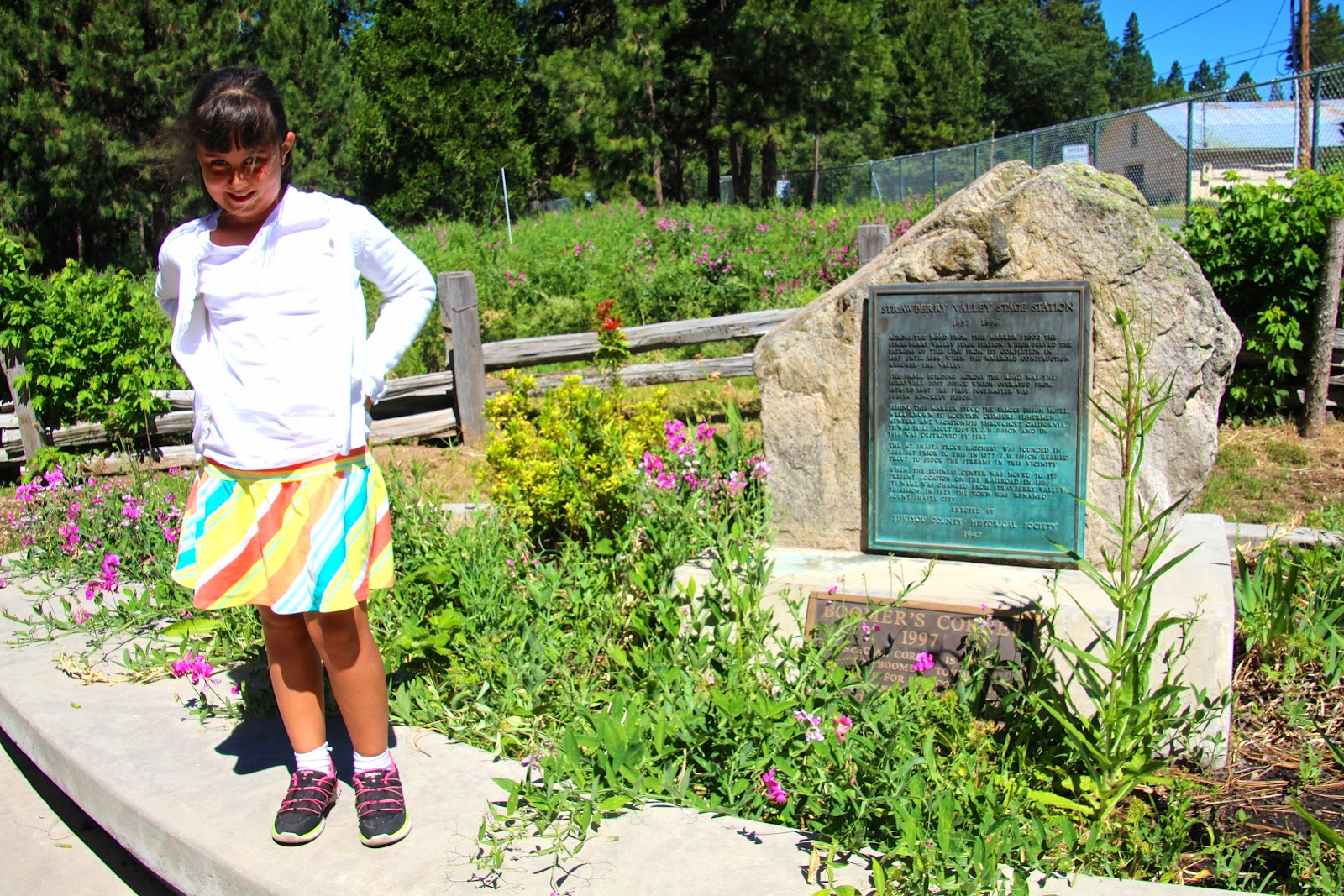
Our first site in Siskiyou County was tricky to find, the
Strawberry Valley Stage Station (CHL 396).
The town of Shasta was originally named Strawberry Valley and near this plaque was the stage station that served the town until the railroad reached here. Next to the station was the Berrryvale Post Office, first postmastered by Justin Hinckley Sisson, as well as the Sisson Hotel.
Mr. Sisson was quite a guy-- a fisherman, huntsman, guide, and philanthropist (he donated the land for the first school as well as the town lands provided the streets be named for his family members). His San Francisco Chronicle obituary said "He knew more of the secrets of Mt Shasta than any living man.
He had made the ascent to the summit scores of times and was an invaluable guide to those desirous of climbing the mountain. He knew the habitats of the grizzly bear and had shown his marksmanship many times in battle with this ferocious beast."
At the
Emigrant Trailo Crossing of Present Highway (CHL 517) the wagon trains crossed into Shasta Valley and Yreka.
The actual trails are about 600 feet north of the plaque in the middle of nowhere.
To have a better look at where the trail would have been, we scaled the hill...
and found gorgeous views of Shasta to the south-- and not much worth taking photos of to the north.
Libi did get to see some cool volcanic rock on the side of the road...
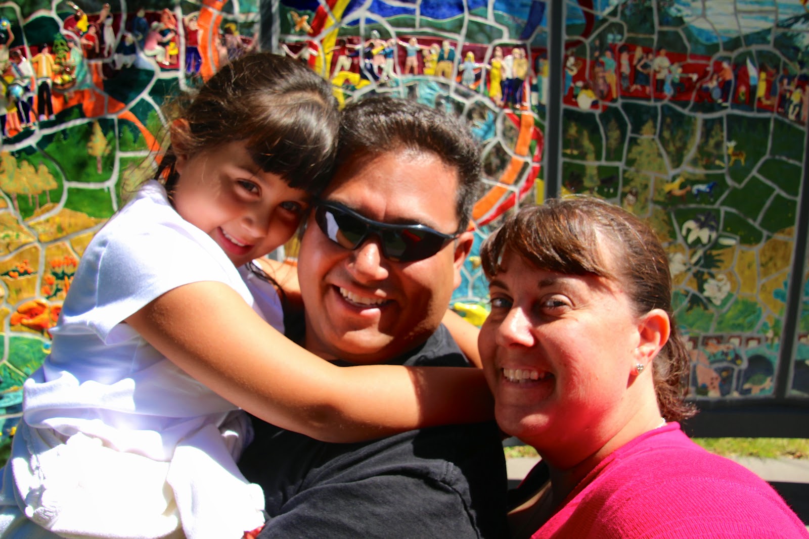
as well as a cool sculpture garden/veteran's memorial.
On the way to our next site we saw more proof of the secessionist movement.
Our two final sites before we left the state were both near the cute town of Yreka.
The first is the
West Miner Street-Third Street Historic District, Yreka (CHL 901) or more succinctly, the old downtown of Yreka. There are 7 original buildings from the founding of the town in 1851.
Yreka was founded due to all the gold nearby and served as a commercial
and transportation center. We spent some time walking around, shopping, and having lunch here.
Our final site for the day was the
Site of Fort Jones (CHL 317).
At first we thought that this plaque, on the side of a bank with a mural, was the best we could do....
after a quick internet search we found the actual site just a bit down the road.
The Fort was established in 1852 and named after Colonel Roger Jones the Adjutant General of the Army.
There is a great history of the fort
here. Many famous Union and Confederate soldiers served here before the war including Phil Sheridan, George Crook, George Pickett, and Ulysses S. Grant was supposed to serve here but was AWOL during his entire assignment or he had resigned from that company prior to the post (there are conflicting stories on the matter).
Libi had asked Daddy if it was possible to have one foot in California and one in Oregon. Determined to make this happen (and not on the side of Interstate 5) we took some back-country roads and used our GPS to locate the 42nd Parallel...
so here is Miss Libs with one foot in each state!


0 comments:
Post a Comment