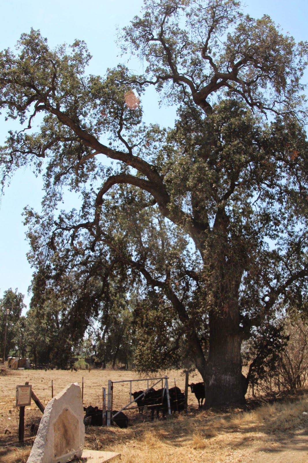
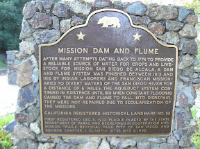
We left Visalia and headed east to the Charter Oak or Election Tree (CHL 410).
Tulare County was formed here under this tree on July 10, 1852.
Now there is a thriving dairy farm right next to the tree-- and the cows were wondering what we were doing by their tree.
The town of Woodville, the first county seat, was located half-mile south of this tree.
Sadly, their state plaque was stolen, but the marble one to the right of it has the same information on it.
A long and winding drive to the east brought us to the
Kaweah Colony and the Kaweah Post Office (CHL 389).
The colony was a utopian society founded in 1886 by Socialists. They applied for land grants near the Sequoia's hoping that they could be self-sufficient as loggers.
They built the first roads into this part of California, but were denied their land grants due to the formation of Sequoia National Park (the first national park in CA and the second in the US).
There are only two structures that remain-- the post office and a squatters cabin that lies in the forest. The post office is still operational-- and it might be the smallest post office in all of California (a resident who was getting her mail told us it was, but I have no evidence to corroborate her story.)
We had to stop to take a photo of their sign-- we've never seen one that says "souls" on it.
Now heading south we came upon
Butterfield Stage Route (CHL 471).
This was a stop of the stage route from Stockton to Los Angeles from 1858-1861.
The
Tule River State Station (CHL 473) was next.
Peter Goodhue operated a stopping place on the emigrant trail near this site.
This used to be right along the Tule River, until the river changed its
course in 1862.
R. Porter Putnam operated the stage stop in 1860 before
he went on the found the city of Porterville in 1864.
Located on an elementary school campus in Porterville was the
First Tule River Indian Reservation (CHL 388).
In 1857 tribes including the Yokuts, Koyeti, and Yandanchi were brought to this location to protect the local residents from Indian attacks.
These poor Native Americans were rounded up just like the Japanese were during WWII-- hopefully we have learned our lesson to not do that to people any more!
Sadly, the campus was pretty locked up, so this was as close as we could get to the plaque.
A drive into the middle of nowhere brought us to
Fountain Springs (CHL 648).
Established in 1855, the city of Fountain Springs was a Butterfield stage stop that was located at the junction on the Stockton-Los Angeles Road and the road to the Kern River gold mines.
Now these two plaques are next to a bar in the middle of nothingness.
Driving further into no-mans land-- without any phone signal (thank goodness I wrote down directions to these places!) we found our final site for the day,
Tailholt (CHL 413).
The city began as a gold mining camp in 1856. Its name was changed to White River in 1870. We saw no remnants of gold mining or the presence of any river-- it was just dusty and sparse.
And with those sites we are one away from completing Tulare County!